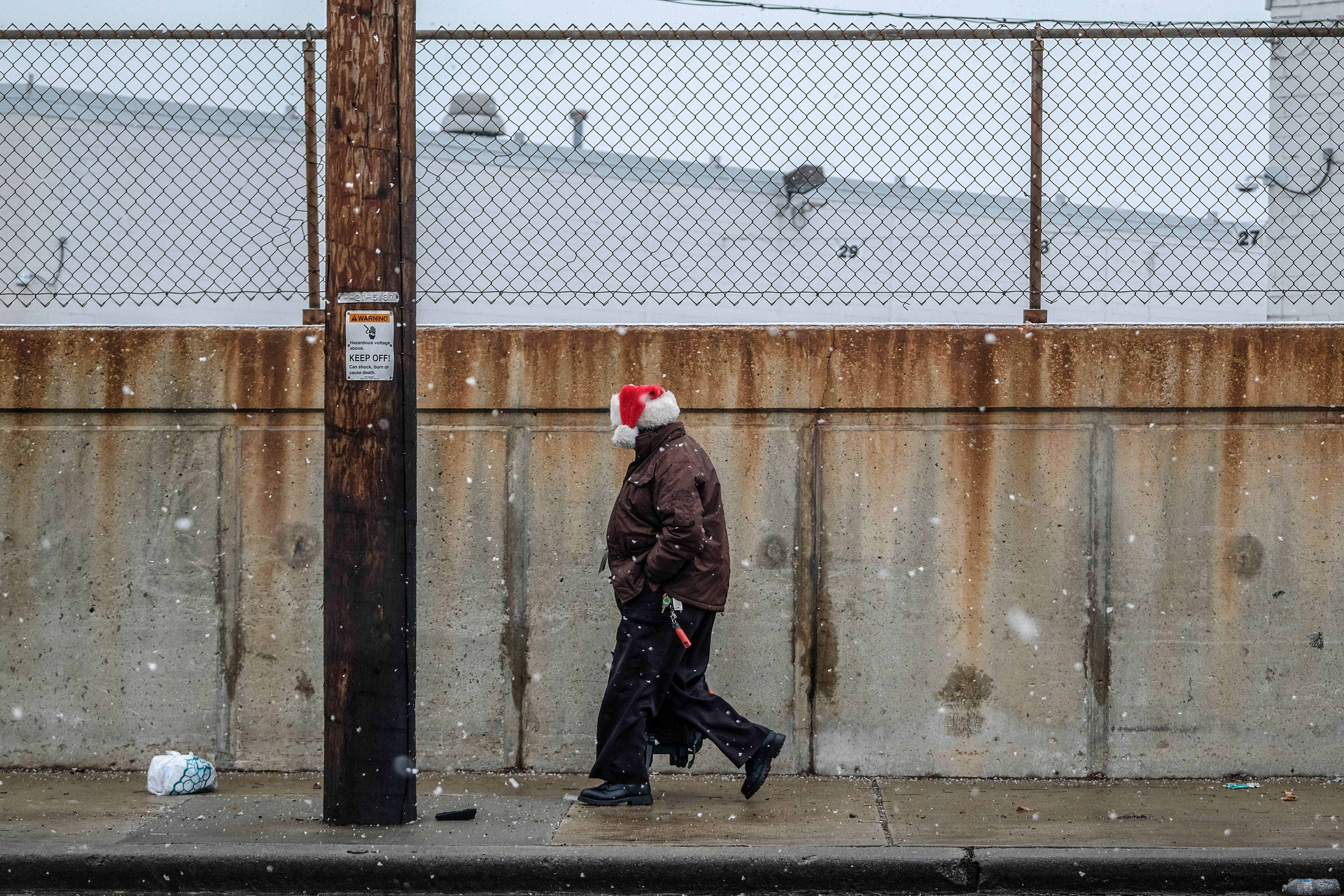
Thousands of flights have been canceled — and more surely are coming — amid one of the most treacherous holiday travel seasons the U.S. has seen in decades, with temperatures plummeting 50 degrees in some areas and forecasters warning of an impending “bomb cyclone” that could make conditions even worse before Christmas.
"This is not like a snow day when you were a kid," President Joe Biden warned Thursday in the Oval Office after a briefing from federal officials. "This is serious stuff.”
Now when it comes to weather terms, it doesn't get much more intense or intimidating than "bomb cyclone." So what is it, and what does that mean for the New York area?
Simply put, a bomb cyclone (or bombogenesis) occurs when atmospheric pressure drops very quickly in a strong storm. Pressure dropping during a storm does happen sometimes, but when in order for it to reach bomb cyclone status, there must be at least a 24-millibar (the unit that measures atmospheric pressure) drop in a 24-hour span.
When that occurs, storms will rapidly intensify, leading to more severe weather conditions. In the case of the winter storm that is impacting travel for millions during the holidays, it will mean heavy downpours of rain and powerful wind gusts topping 50 mph.
Get Tri-state area news delivered to your inbox. Sign up for NBC New York's News Headlines newsletter.
As of 7 p.m. Thursday, the atmospheric pressure was at 1,003 millibars (mb). Fast forward to Friday at 7 p.m., and that level is expected to drop to 966mb — more than meeting bomb cyclone status. As the pressure is steadily and continually dropping, the storm will be strengthening more and more. The lower the pressure, the more intense the storm becomes.
If you're looking at a forecast map that has white lines going through it, those lines show equal pressure. The tighter those lines are bunched together, the more powerful the storm is going to be.
“All bomb cyclones are not hurricanes,” University of California, Los Angeles, climate scientist Daniel Swain told NBC News. “But sometimes, they can take on characteristics that make them look an awful lot like hurricanes, with very strong winds, heavy precipitation and well-defined eye-like features in the middle.”
And yes, for those wondering: Bomb cyclone is an actual, legitimate scientific term, not one just made up to scare people, Swain added. He said that the term itself refers to the speed at which a storm forms, and doesn't directly have anything to do with the strength of a storm.
Bomb cyclones are most common in October and March, when cold and warm air might collide. That differs from hurricanes, which are powered by warm seas.
And while they are different from hurricanes, they can produce similar effects to Category 1 storms, according to Swain.
"“Fundamentally, the impacts of a bomb cyclone are not necessarily different from other strong storm systems, except that the fast strengthening is usually a signature of a very powerful storm system,” Swain told NBC News, adding that much of the danger with bomb cyclones comes with them forming so quickly and taking people by surprise.


