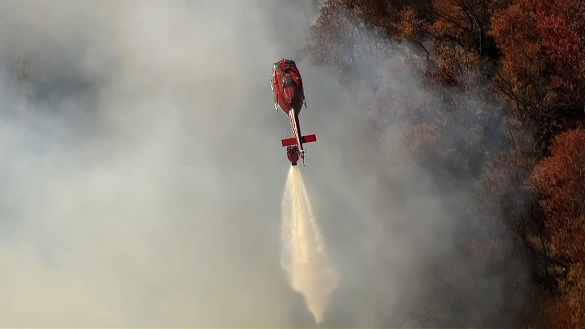
While the recent stretch of dry weather has made for plenty of beautiful days in October, it also creates a potentially dangerous risk.
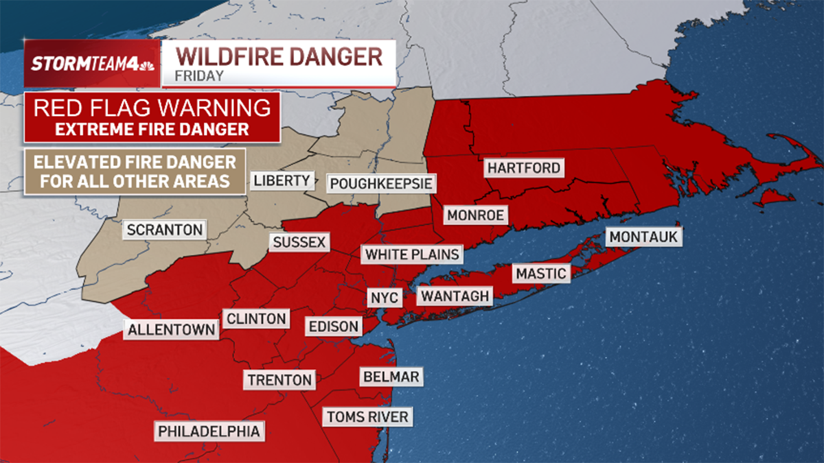
A Red Flag Warning will be in place Thursday afternoon for central and southern New Jersey. So what does that mean? It has to do with the chance for wildfires.
The National Weather Service defines the alert as conditions where "warm temperatures, very low humidities, and stronger winds are expected to combine to produce an increased risk of fire danger."

In short, think wildfires or brush fires. Check the latest weather alerts for your neighborhood here.
For a large swath of the state, wildfire danger will be extremely high. Despite temperatures finally going down a bit, the dryness will continue for the foreseeable future. The unusually dry conditions from the recent lack of rain combined with a strong breeze will keep the fire danger high.
Get Tri-state area news delivered to your inbox. Sign up for NBC New York's News Headlines newsletter.
For Bergen, Passaic, Hudson, Essex and Union counties, the fire danger is elevated, but not as extreme.
Weather Stories
No other alerts were in place across the tri-state for Thursday.
The National Weather Service suggests the following when a red flag alert is active:
- If you're allowed to burn, all burn barrels must be covered with a weighted metal cover with holes no larger than 3/4 of an inch
- Don't throw cigarettes or matches out of a moving vehicle. They may ignite dry grass on the side of the road and become a wildfire
- Extinguish all outdoor fires properly. Drown fires with plenty of water and stir to make sure everything is cold to the touch. Dunk charcoal in water until cold. Do not throw live charcoal on the ground and leave it
- Don't ever leave a fire unattended. Sparks or embers can blow into leaves or grass, ignite a fire and quickly spread


