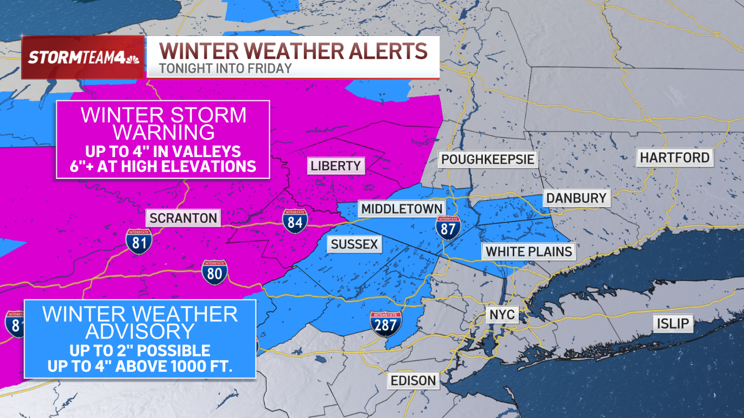
The tri-state is dealing with it's strongest winter storm of the year, as a nor'easter bore down on the region starting Friday night. Snowfall picked up overnight, and when factoring in the winds, many were dealing with blizzard-like conditions.
The snow was set to fall at a rate of 1-2 inches per hour during the height of the storm in the morning, but some (especially out further east on Long Island) felt the worst of its impact. The peak of the storm lasted from 5 a.m. to 2 p.m.
Travel became difficult if not impossible, as winds whipped the snow around and created dangerous, blinding conditions. Officials urged people to stay home and off the roads if possible.
It may be the weekend, but some schools were already doubting if they would be able to open on Monday. (Check school closings here.)
Most of the snow is likely to taper off throughout Saturday afternoon. Check the latest snow totals in the graphics below as more updates come in:
Get Tri-state area news delivered to your inbox. Sign up for NBC New York's News Headlines newsletter.
Jersey Shore
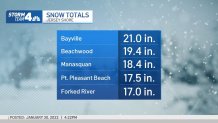
New York City
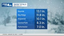
Long Island
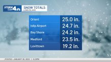
New Jersey
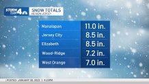
Connecticut
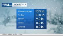
Hudson Valley
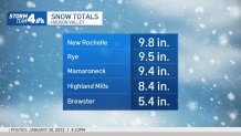
How to Figure Out Your Own Total
Weather Stories
If you want to be extra specific and see how much snow you got right outside, the National Weather Service suggests getting out your ruler.
Ideally, you'd want to plan ahead of the snowfall. But if you can find flat surfaces that are in a wind-sheltered area away from tall objects, you can take several measurements to find an average, the NWS said.
See the steps on how to measure and how to report below.
For the latest searchable snow total breakdowns in the New York metro area click here and for the latest county-level breakdowns click here. You can also check the map below for the latest updates as the National Weather Service updates its totals.

