
Latest Forecast From Storm Team 4
A threat of severe summer storms exists for Friday evening and could affect outdoor plans across the area.
The tri-state could see a few spotty showers through early afternoon, as temperatures hover around 80, but the bigger concerns are during the evening hours, starting after 5 p.m.
Areas of the highest impact for damaging winds, flash flooding and large hail will be north and west of NYC beginning mid-afternoon. The chance for a tornado can't be ruled out as well, particularly for the mid-Hudson Valley and into New England.
Watch NBC 4 free wherever you are

Get Tri-state area news delivered to your inbox with NBC New York's News Headlines newsletter.


Weather Stories
A severe thunderstorm watch is in effect for areas north and west of the New York metro area through 8 p.m. The greatest risk is for damaging winds and possibly hail. Isolated flash flooding is less likely, but remains a possibility in spots.
The line of showers will weaken as it moves towards NYC later in the evening (from 7 p.m. - 11 p.m.), so the city likely won't see much in terms of severe weather. But it could still get some scattered rain and rumbles of thunder.
Most of the storms should be clear of the area after midnight.


Once the storms roll through this evening, they will clear the way for a beautiful summer weekend.
There are now five weekends left until Labor Day and this one will be pretty great. Expect highs in the mid 80's with a good amount of sun.
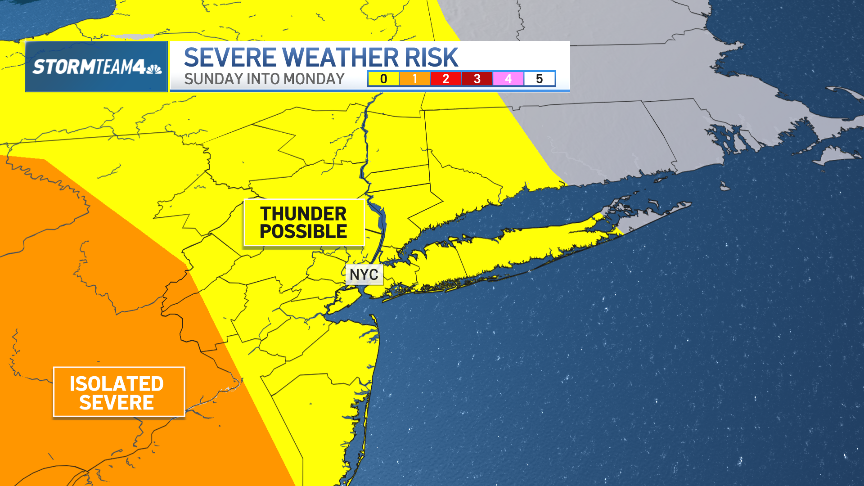
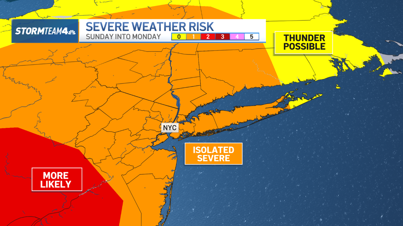
Another front arrives Monday with more humidity and storms, and then it’s back to August warmth and mainly storm-free the rest of the week.
