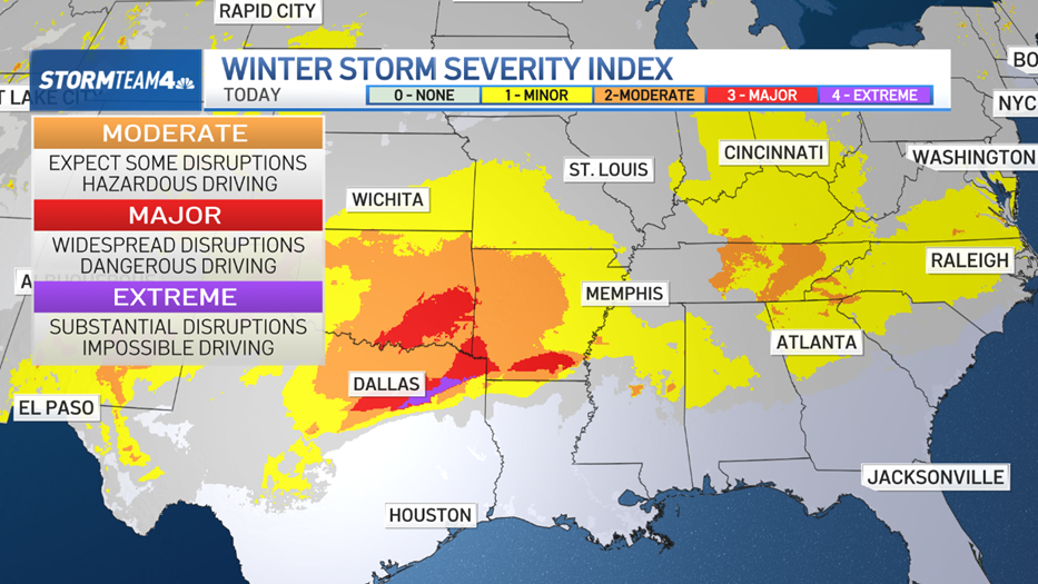
A powerful winter storm will produce a swath of severe and wintry weather across much of the nation through Monday.
Sunday afternoon, the storm was churning over the mid-Mississippi Valley on a track to the Mid-Atlantic region Monday. The resulting snow, ice and even severe storms will cause a big mess for much of the eastern third of the country.
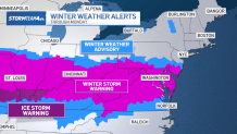
Winter weather alerts are posted all along the storm’s track.
Get Tri-state area news delivered to your inbox. Sign up for NBC New York's News Headlines newsletter.
Along the East Coast, they extend as far north as Ocean County, where a winter weather advisory is in place for 2-4 inches of snow on Monday. The storm is expected to pass too far south of the tri-state area for the New York City metro area to be significantly impacted.
Upwards of 10 inches of snow are possible in a narrow swath from Kentucky and Ohio through West Virginia into Virginia and Maryland. Washington, D. C., and Baltimore are likely to be hardest hit.
From city streets to interstates, ground travel will grind to a halt. In the air, expect a ripple-effect of extensive delays and cancellations from the storm.

Weather Stories
That will cause major headaches for tri-state travelers. If you plan to drive south into South Jersey or down the I-95 corridor through D.C. on Monday, think twice.
If you’re flying Sunday or Monday, check for airline alerts for delayed or cancelled flights. If you have a chance to re-book for a later date, you may want to consider that.
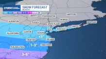
Road travel around the tri-state area will be much better. In the city and Central Jersey, flurries or light snow is possible between mid-morning into the afternoon on Monday, but only a dusting to under an inch will collect.
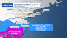
With temperatures below freezing, anything that does accumulate will stick around. Some roads could get slick in spots, so drive slowly and allow for extra time to get to your destination, but other than that, local traffic will not be greatly impacted.
Gov. Phil Murphy declared a state of emergency for much of Central and Southern New Jersey effective 10 p.m. Sunday due to the winter weather conditions expected.
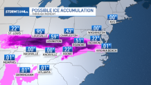
In addition to snow, freezing rain along the storm’s track will cause treacherous driving conditions for millions of people from Missouri to Virginia.
Farther south, severe storms could produce tornadoes, damaging straight-line wind and/or hail in Louisiana, Arkansas, Mississippi and Alabama Sunday night and extend into Georgia, North Florida and South Carolina on Monday.
The storm will push offshore late Monday, but with cold air remaining in place, the wintry blanket that’s left behind will not be going anywhere any time soon.

