Whether you’re anticipating the start of fall or dreading it, summer is not quite done with us yet.
Sweltering heat and isolated severe storms deliver a wilting Wednesday to the tri-state before cooler weather finally sets in. High temperatures will reach the 90s. The heat plus the high humidity has prompted heat advisories
across the region, including for New York City. “Feels like” temperatures will top 100 degrees, though.
It'll be even hotter in South Jersey. From Trenton to Philadelphia, an excessive heat warning is in place for heat indices up to 105. Check the latest severe weather alerts for your neighborhood here.
Stay hydrated, avoid strenuous activity, and seek air conditioning whenever possible.

A code red alert was issued for the city of Newark, which advised at-risk residents (senior or those with chronic health issues) to take precautions and for everyone to check in on neighbors who may be on their own. The city also advised that air quality is expected to be unhealthy for sensitive groups. The same precautions apply in New York City.
Get Tri-state area news delivered to your inbox. Sign up for NBC New York's News Headlines newsletter.
The heat advisory will remain in place until 8 p.m., after which temperatures should fall below the danger zone. By Thursday, temperatures will be significantly cooler, reaching only into the 70s.
Weather Stories
When do the storms hit?
Storms will fire up Wednesday evening along a cold front moving south through the region. The evening commute will be largely spared since most storms will hold off until dinnertime or later. Even then, they will be hit-and-miss.
But storms that do form could turn severe. The greatest severe threat lies south and west of the city, concentrated in Central and South Jersey, but a marginal risk remains through the city and up into the Hudson Valley.

For any severe storms that do develop, damaging winds and large hail are the primary concerns. Of the two, winds present the greater and more widespread threat, especially for the city and its surrounding areas. Gusts could exceed 50 mph, strong enough to blow limbs off trees and knock down power lines.

The strongest storms could produce hail up to an inch in diameter, which could cause property damage – including cracked car windshields or dimpled hoods.

Once the storms move through Wednesday night, temperatures and humidity take a nose dive. Expect highs almost 20 degrees cooler to round out the work week.

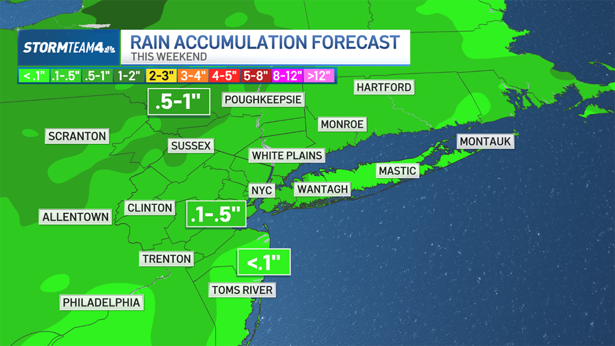
Labor Day weekend marks the unofficial end of summer and temperatures should be very close to normal. Starting next week, temperatures are going to feel a lot more autumn-like, especially in the morning, when lows dip into the 50s.

Track any approaching rain using our interactive radar below:


