What to Know
- Powerful storms are expected to rock the tri-state later today after a stifling and humid day that will see highs soar into the 90s, though it will feel much worse
- High heat and humidity set the stage for strong storms later. Winds topping 60 mph are expected with this system; hail an inch in diameter is also possible. While there appeared to be an elevated tornado risk a day ago, that has dissipated. A twister isn't impossible, though
- The strongest storms will move through the tri-state from mid-evening to shortly past midnight, with the worst weather window in NYC from 9 pm to 11 pm. Rain will continue overnight, but the severe threat diminishes.
Extreme heat stifled the tri-state area Wednesday afternoon and led strong to severe storms battering the region in the evening.
Temperatures soared into the 90s for most on Wednesday as dew points climbed into the upper 60s, making it even more uncomfortable. That level of heat and humidity made temperatures feel like the upper 90s to near 100 degrees in some areas.
The combination prompted a heat advisory for Central and South Jersey. An air quality alert was also in effect.
The good news: The heat was short-lived. The bad news: The relief came from a cold front that also brought severe storms.
Severe thunderstorm warnings were issued for New York City, northern New Jersey, the Hudson Valley, Long Island and Connecticut throughout the evening, starting around 6:30 p.m. and lasting for about four hours. The storms started hitting the New York City metro area around 8:30 p.m. or so, pushing into the east end of Long Island by 11 p.m. Check the latest weather alerts for your neighborhood here.
Get Tri-state area news and weather forecasts to your inbox. Sign up for NBC New York newsletters.
Storms produced abundant lightning and some produced damaging wind and hail. The storms brought hail and wind damage in the form of downed trees while moving east from the Midwest. There were numerous reports of downed trees and wires throughout northern New Jersey and into New York, with some people getting trapped in a car in Bayside, Queens, as a result.
News
One person in East Orange, New Jersey, had a tree fall on them around 8:30 p.m. The person's condition was not immediately clear.
Lesser concerns will be isolated minor flooding and pop-up tornadoes, which would be concentrated in and around North Jersey to the west of NYC.
And if Wednesday night is when you put out the garbage or recycling, consider waiting until Thursday morning so your bins don’t get blown down the block. Wind gusts were expected to top 60 mph.

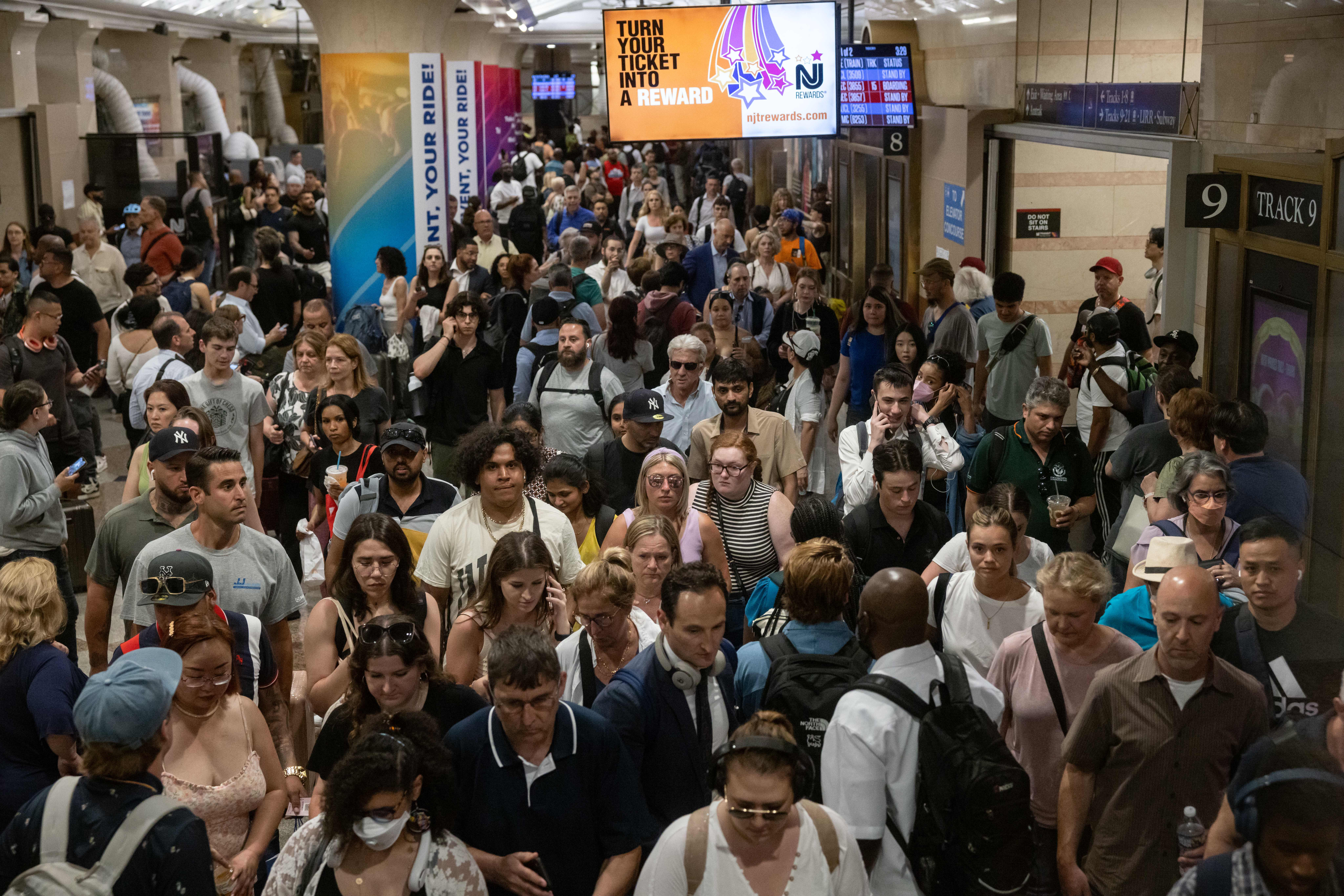
The severe weather also led to headaches on transit, with Long Island Rail Road and Metro-North service both being impacted. Metro-North's Harlem Line was at one point suspended from Valhalla to Hawthorne due to downed trees falling on tracks, while Hudson Line trains had delays of up to 40 minutes.
Long Island Rail Road canceled a train to Port Washington after a tree fell on tracks near Bayside.
At New York City-area airports, there were departure delays ranging from about 45 minutes at Newark and JFK, to about 2 hours 30 minutes at LaGuardia. Inbound flights to Newark and LaGuardia were being held until 11 p.m., while inbound flights at JFK were delayed nearly three hours at their origin.
As of 10:30 p.m. Wednesday, there more than 214,000 customers without power across the tri-state, including 106,000 in New Jersey (most of whom were First Energy/Jersey Central Power & Light customers) and nearly 71,000 in New York.


The strongest storms will move out of the tri-state shortly past midnight. Rain will continue overnight, but the severe threat diminishes.
When the showers have moved out, temperatures return close to average and humidity comes back down to a comfortable level, giving way to a gorgeous end of the workweek.
Hourly outlook

Track any approaching storms using our interactive radar below.


