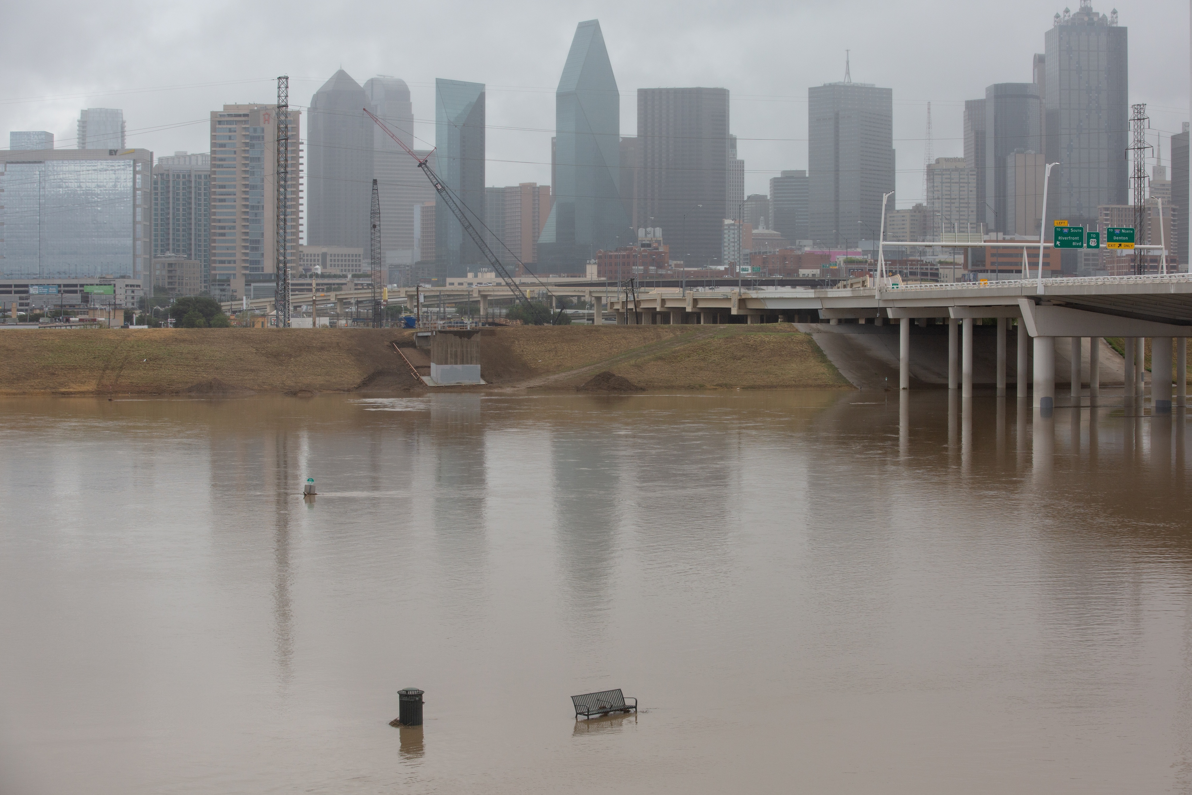
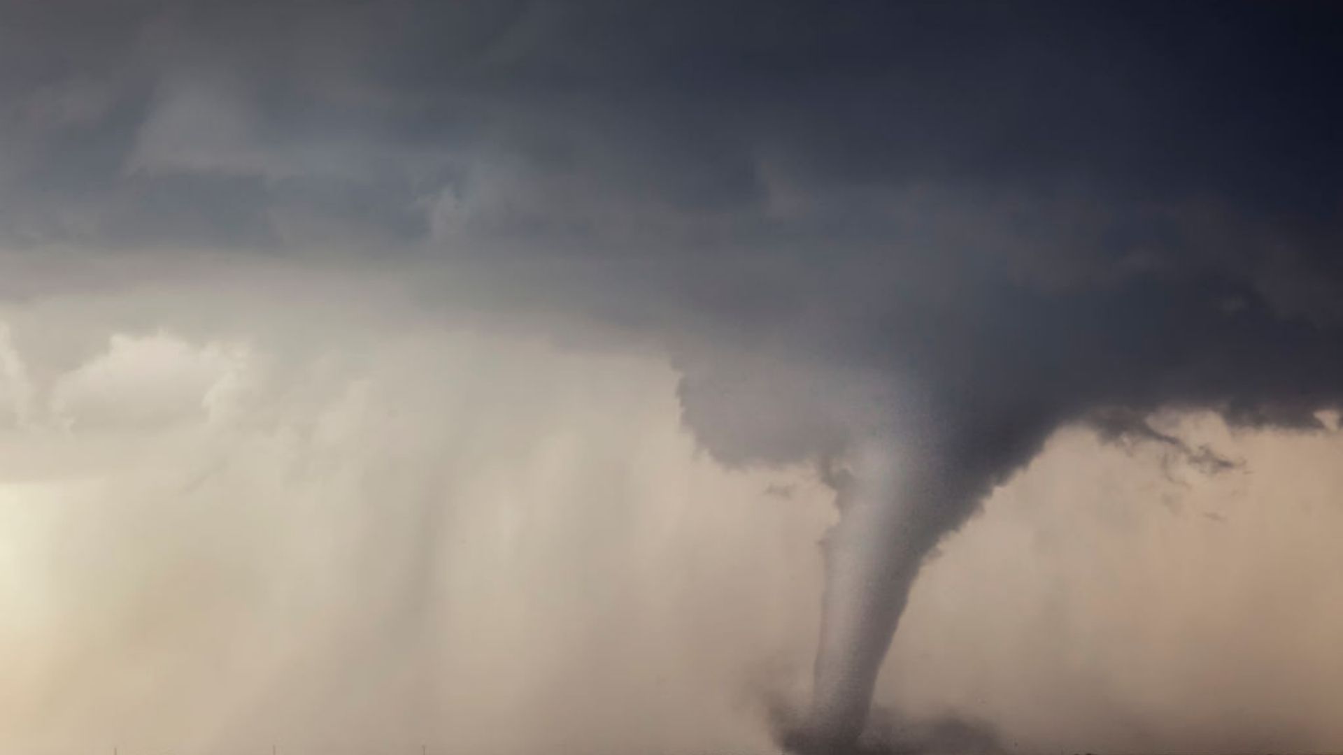
Showers and storms will push out of the area by early to mid-evening Tuesday after severe Severe thunderstorms pummeled the tri-state area overnight as most people slept, triggering booming thunder and a brief tornado warning in Brooklyn and Queens as windswept rain pelted streets and sidewalks.
Scattered storms were expected to emerge from New York City northward Tuesday afternoon ahead of a cold front. Isolated severe weather (on top of the morning mess) is possible. While damaging winds appear to be the primary threat at this point, a tornado can't be ruled out -- and neither can flash flooding.
The afternoon threat came after the region was walloped overnight. A rare tornado warning for New York City expired at 5 a.m., but flash flood warnings remained in effect for much of the morning.
Watch NBC 4 free wherever you are
Flooding was reported on the Hutchinson River Parkway in New Rochelle and on I-295 by Northern Boulevard in Queens, prompting significant road closures. Get real-time transit updates from all your key commute sources right here.
Get Tri-state area news delivered to your inbox with NBC New York's News Headlines newsletter.
Lightning brightened the skies over New York City in the pre-dawn hours, dramatic Sky Cam footage shows, jolting some awake with thunderous booms and bright flashes of light.
New Jersey was hit hard, too. Some northeastern parts of the state reported flash flooding from the heavy downpours, with isolated spots recording up to 2 inches of rain in as little as an hour.
After the storms move out, a cold front pushes through the area and allows much drier air to settle into the tri-state, translating into lots of sunshine, cooler mornings and more seasonable days ahead.
We’ll feel those cooler temperatures somewhat Wednesday and even more by Thursday. And, yes, we still expect sweater weather by Friday morning!
The nice weather will continue into the first half of the weekend. By Sunday, however, temperatures rebound and next week – into the mid to upper 80s by the time we close out summer.
Dry skies look to persist for much/all of next week, too, as a stabilizing ridge of high pressure plants itself over the Eastern U.S.
Check the latest weather alerts for your neighborhood here.


