Latest Forecast From Storm Team 4
What to Know
- Morning temps on Saturday dropped to the single digits, smashing almost 30-year records set for Newark and parts of NYC back in 1996
- A wind chill warning will be in effect from Friday through Saturday afternoon for parts of the upper Hudson Valley, with a wind chill advisory in place for the lower Hudson Valley and Fairfield County in Connecticut
- Afternoon wind chill values rise back above zero before Sunday sees a total temperature turnaround with highs in the mid 40s
If you're reading this, rest easy knowing the worst is behind us.
The leading edge of arctic air arrived, and brought wind chills down to dangerous levels — well below zero. They dipped below zero by Friday evening, and only got worse from there through Saturday morning.
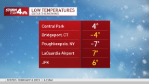
Frigid cold and bitter winds plunged temps to single digits, smashing almost 30-year records set for Newark and parts of NYC dating back to 1996. Some felt Saturday morning lows a few degrees below freezing (new record lows are highlighted yellow below).
Get Tri-state area news delivered to your inbox. Sign up for NBC New York's News Headlines newsletter.
In New York City, wind chills of 10 to 15 degrees below zero were likely in the overnight hours, the like of which hadn't been seen since 2016.


Mother Nature had cruel intentions for Saturday, with low-to-mid 20 highs expected for highs and mind-numbing wind chills. Newark, New Jersey, is among the places where extreme cold warnings are in effect. Check local alerts.
A wind chill warning will be in effect from Friday through Saturday afternoon for parts of the upper Hudson Valley, with a wind chill advisory in place for the lower Hudson Valley and Fairfield County in Connecticut.
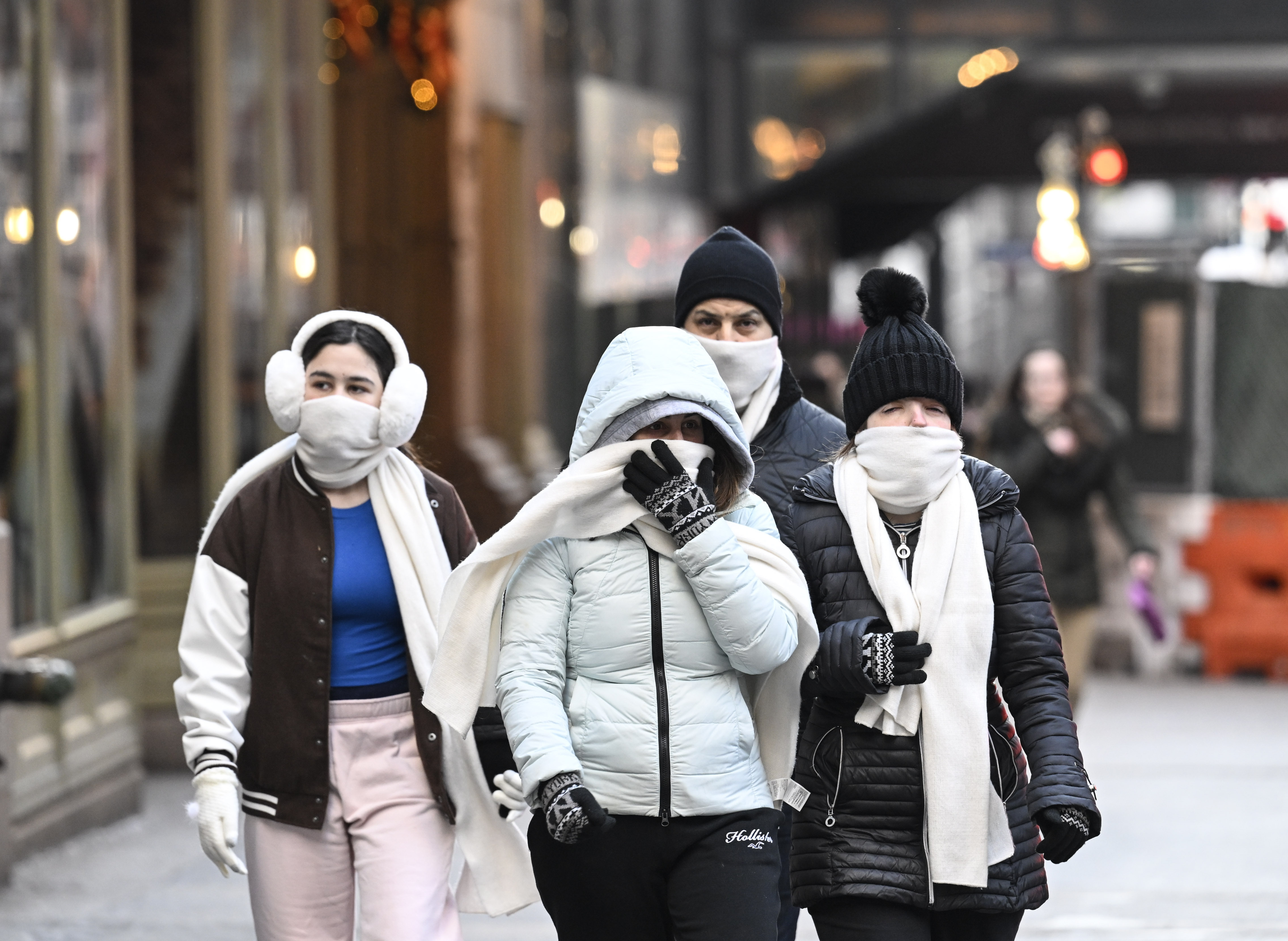
If you do have to leave the house, be sure to bundle up: It only takes 30 minutes (or less) for frostbite to set in on any exposed skin, and even walking a few blocks to a subway station will feel painful, especially if facing the wind.
It will be quite a change of pace from January, which was historic for its warmth: It was the first month ever that New York City recorded above-average temperatures all 31 days.
There is some good news: The bitter cold won't be here long. Beginning Saturday afternoon, a quick change in wind direction from the southwest will drive temperatures up overnight into Sunday — climbing to the much more tolerable low 40s by the afternoon. Equally as impressive as the downswing is the upswing -- temperatures should climb more than 30 degrees in the other direction, sending us back above freezing before Sunrise Sunday.
And by the middle of next week, the harsh cold will be a distant memory. Expect highs in the 50s with plenty of sun.
10-Day Outlook


