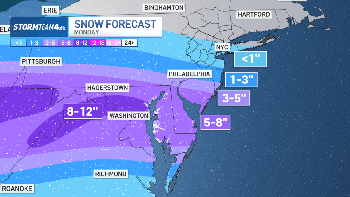
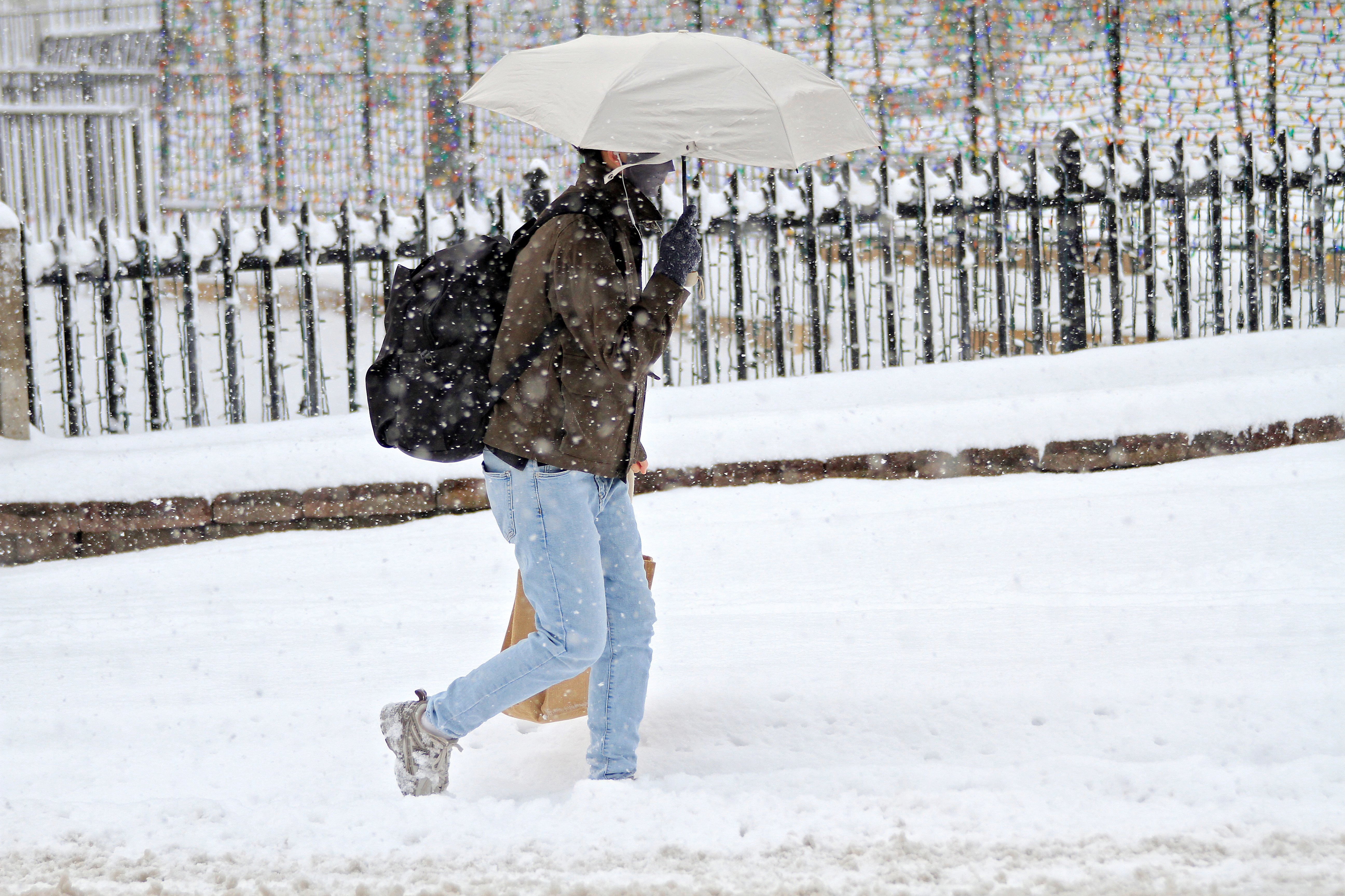
Monday’s light snow in the tri-state may be over, but the January chill is taking up residence.
The air will be dry. Highs will be sub-freezing some days. Winds will be gusty.
All of that adds up to some bitterly cold days and frigid mornings. If you haven’t pulled out the winter parka yet, now is the time.
Get Tri-state area news delivered to your inbox.> Sign up for NBC New York's News Headlines newsletter.

Weather Stories
Monday’s winter storm brought under an inch of snow to most of the tri-state area. But as it exits, it also pulls in a rush of arctic air that settles in for days to come.
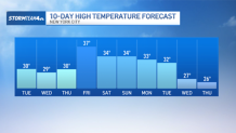
High temperatures are stuck below the freezing mark until Friday while overnight low temperatures are confined to the low 20s and upper teens. And those are just the air temperatures.
And, unfortunately, the actual temperature won’t be the worst of it. Tuesday, winds gust to between 30 and 40 miles per hour. That will bring morning wind chills down to the single digits for most areas and afternoon wind chills in the teens.
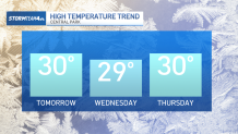
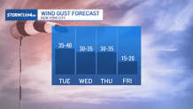
These wind chills will last through Thursday, as temperatures stay low and winds stay high. Friday will be marginally less breezy.
Gusty winds break up the insulating layer of warmth our bodies produce, making our internal temperature more susceptible to the cold air. The value known as the “wind chill” helps communicate the impact the weather will have on our bodies, thus dictating how you should prepare for the day.
For days feeling like the teens, you’ll want multiple layers with hats, gloves, and scarves on top.
By Friday, the winds finally start to let up and high temperatures manage to swing back above freezing.
Technically, this is still below average, but given the preceding days’ frozen temperatures and blustery winds, it’ll come as a welcome change.

We manage to stay precip-free for most of the week thanks, in large part, to a high-pressure system to our west that keeps us dry, cold, and windy.
By the weekend, this system moves offshore allowing temps to moderate briefly. This will also be our next chance of picking up some additional snowfall. Even with the “milder” temperatures, we still have plenty of cold air entrenched to make for snow if the right storm were to come along.
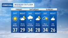
Bur for now, it is still far too early to be confident that the snowstorm actually happen. The European and American models are at odds and even the American model can’t decide exactly which side of the fence its on.
One thing we’re highly certain of: It’s going to stay cold for the foreseeable future.


