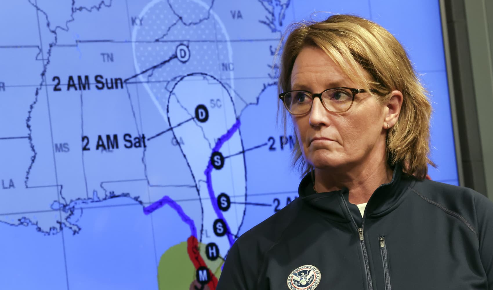
Hurricane Francine barreled early Wednesday toward Louisiana and is expected to make landfall in coming hours as forecasters raised threats of potentially deadly storm surge, widespread flooding and destructive winds on the northern U.S. Gulf coast.
Francine drew fuel from exceedingly warm Gulf of Mexico waters to jump from a tropical storm to a Category 1 hurricane on Tuesday night. The National Hurricane Center said Francine might even reach Category 2 strength with winds of 96 to 110 mph (155 to 175 kph) before crashing into a fragile coastal region that still hasn't fully recovered from a series of devastating hurricanes since 2020.
Louisiana Gov. Jeff Landry warned at midday Tuesday — when Francine was still a tropical storm — that residents around south Louisiana and in the heavily populated state capital of Baton Rouge and nearby New Orleans — should “batten down all the hatches” and finish last preparations before a 24-hour window to do so closed.
Once Francine makes landfall, Landry said, residents should stay in place rather than venture out into waterlogged roads and risk blocking first responders or utility crews working to repair power lines.
The governor said the Louisiana National Guard is being deployed to parishes that could be impacted by Francine. They are equipped with food, water, nearly 400 high-water vehicles, about 100 boats and 50 helicopters to respond to the storm, including possible search-and-rescue operations.
Get Tri-state area news delivered to your inbox. Sign up for NBC New York's News Headlines newsletter.
Francine was centered Wednesday morning about 245 miles (395 kilometers) southwest of Morgan City, Louisiana, and was moving northeast at 10 mph (17 kph) with maximum sustained winds of 90 mph (150 kmh), the Miami-based hurricane center said. Some additional strengthening is expected Wednesday morning and then Francine is expected to weaken quickly after it moves inland.
U.S. & World
A hurricane warning was in effect along the Louisiana coast from Cameron eastward to Grand Isle, about 50 miles (80 kilometers) south of New Orleans, according to the center. A storm surge warning stretched from the Mississippi-Alabama border to the Alabama-Florida border Such a warning means there’s a chance of life-threatening flooding.
In downtown New Orleans, cars and trucks were lined up for blocks on Tuesday to collect sandbags from the parking lot of a local YMCA. CEO Erika Mann said Tuesday that 1,000 bags of sand had already been distributed by volunteers later in the day to people hoping to protect homes from possible flooding.
One resident picking up sandbags was Wayne Grant, 33, who moved to New Orleans last year and was nervous for his first potential hurricane in the city. The low-lying rental apartment he shares with his partner had already flooded out in a storm the year before and he was not taking any chances this time around.
“It was like a kick in the face, we’ve been trying to stay up on the weather ever since,” Grant said. “We’re super invested in the place, even though it’s not ours.”
Francine is the sixth named storm of the Atlantic hurricane season. There’s a danger of life-threatening storm surge as well as damaging hurricane-force winds, said Brad Reinhart, a senior hurricane specialist at the hurricane center.
There’s also the potential for 4 to 8 inches (10 to 20 centimeters) of rain with the possibility of 12 inches (30 centimeters) locally across much of Louisiana and Mississippi through Friday morning, Reinhart said.
The hurricane center said parts of Mississippi, Alabama and the Florida Panhandle were at risk of “considerable” flash and urban flooding starting Wednesday, followed by a threat of possible flooding later in the week into the lower Mississippi Valley and lower Tennessee Valley as the soggy remnants of Francine sweep inland.
Francine is taking aim at a Louisiana coastline that has yet to fully recover since hurricanes Laura and Delta decimated Lake Charles in 2020, followed a year later by Hurricane Ida.
A little over three years after Ida trashed his home in the Dulac community of coastal Louisiana's Terrebonne Parish – and about a month after he finished rebuilding – Coy Verdin was preparing for another hurricane.
“We had to gut the whole house,” he recalled in a telephone interview, rattling off a memorized inventory of the work, including a new roof and new windows.
Verdin, 55, strongly considered moving farther inland, away from the home where he makes his living on nearby Bayou Grand Caillou. After rebuilding, he said he’s there to stay.
“As long as I can. It’s getting rough, though,” he said.
Francine's storm surge on the Louisiana coast could reach as much as 10 feet (3 meters) from Cameron to Port Fourchon and into Vermilion Bay, forecasters said. They said landfall was likely somewhere between Sabine Pass — on the Texas-Louisiana line — and Morgan City, Louisiana, about 220 miles (350 kilometers) to the east.


