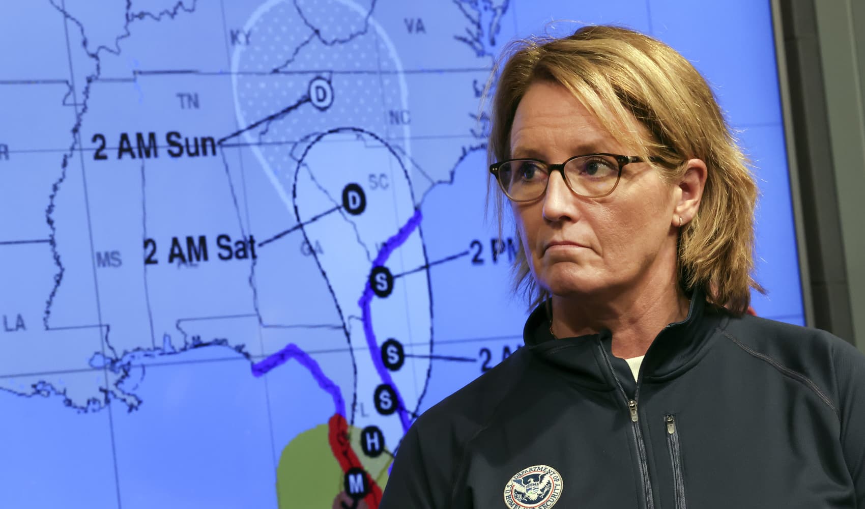
Tropical Storm Alberto formed on Wednesday in the southwestern Gulf of Mexico, the first named storm of what is forecast to be a busy hurricane season.
Alberto, which is bringing strong winds, heavy rainfall and some flooding along the coasts of Texas and Mexico, is expected to make landfall in northern Mexico on Thursday.
“The heavy rainfall and the water, as usual, is the biggest story in tropical storms,” said Michael Brennan, director of the National Oceanic and Atmospheric Administration’s National Hurricane Center.
The National Hurricane Center said Wednesday afternoon that Alberto was located about 170 miles (270 kilometers) east of Tampico, Mexico, and about 305 miles (495 kilometers) south-southeast of Brownsville, Texas, with maximum sustained winds of 40 mph (65 kph). The storm is moving west-southwest at 9 miles per hour.
The center of the storm was expected to reach the northeastern coast of Mexico south of the mouth of the Rio Grande by early Thursday morning.
Get Tri-state area news delivered to your inbox. Sign up for NBC New York's News Headlines newsletter.
Brennan said that winds could get up to 45 mph (72 kph) to 50 mph (80 kph) before the storm makes landfall.
U.S. & World
As much as 5 inches (13 centimeters) to 10 inches (25 centimeters) of rain was expected in some areas along the Texas coast, with even higher isolated totals possible, Brennan said. He said some higher locations in Mexico could see as much as 20 inches (50 centimeters) of rain, which could result in mudslides and flash flooding, especially in the states of Tamaulipas, Coahuila and Nuevo Leon.
Tamaulipas Gov. Américo Villarreal said Wednesday on X, formerly Twitter, that schools across the state will remain closed between Wednesday and Friday.
The coordinator of civil protection in the state of Tamaulipas, Luis Gerardo Gonzalez, said they have 333 shelters distributed throughout the state at each municipality. “As the storm moves, we will be opening up more shelters.”
The coordinator also said the rains would be very beneficial to the state, “to help in the crisis we are going through with lack of water.”
Authorities urged residents to be aware of the alerts the state and municipal civil protections are sharing. They anticipate the storm arriving overnight with communities closest to the coast most affected.
Tropical storm warnings were in effect from the Texas coast at San Luis Pass southward to the mouth of the Rio Grande and from the northeastern coast of Mexico south of the mouth of the Rio Grande to Tecolutla.
“Rapid weakening is expected once the center moves inland, and Alberto is likely to dissipate over Mexico” on Thursday, the center said.
The U.S. National Weather Service said the main hazard for southern coastal Texas is flooding from excess rain. On Wednesday, the NWS said, there is “a high probability” of flash flooding in southern coastal Texas. Tornadoes or waterspouts are possible.
NOAA predicts the hurricane season that began June 1 and runs through Nov. 30 is likely to be well above average, with between 17 and 25 named storms. The forecast calls for as many as 13 hurricanes and four major hurricanes.
An average Atlantic hurricane season produces 14 named storms, seven of them hurricanes and three major hurricanes.
Brennan said there will be dangerous rip currents from the storm and drivers should watch out for road closures and turn around if they see water covering roadways.
Areas along the Texas coast were seeing some road flooding and dangerous rip currents Wednesday, and waterspouts have been spotted offshore. “We’ve seen a few brief spin-ups and some waterspouts out there,” said Tyler Castillo, a meteorologist with the National Weather Service office in Corpus Christi.
Tim Cady, a meteorologist with the National Weather Service in Houston, said they’ll be keeping an eye on coastal flooding as high tide approaches Thursday morning.
“When we have these strong onshore winds combined with the high tide, that can result in coastal inundation, particularly in our lower-lying coastal areas,” Cady said.
A no-name storm earlier in June dumped more than 20 inches (50 centimeters) of rain on parts of South Florida, stranding numerous motorists on flooded streets and pushing water into some homes in low-lying areas.
“People underestimate the power of water and they sometimes don’t always take rainfall and the threats that come with it seriously, especially if you are driving in an area and you see water covering the road, you don’t want to drive into it,” Brennan said. “You don’t know how deep the water is. The road may be washed out.”


