Rising temperatures turned snow from Sunday's wintry storm to slush on the region's roads and sidewalks, and the muck welling up near curbs and sewers created messy travel for drivers and pedestrians across the tri-state area.
[NATL] 12 Stunning Aerial Photographs of Frozen New York City
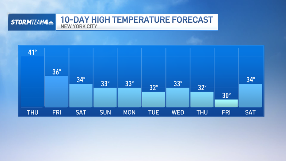
Residents saw wet streets as they headed out Monday and the melting increased under sunny skies throughout the day. Temperatures reached near 40 degrees in the midtown by mid-afternoon, which felt great after seemingly unending cold snaps but is still chillier than average. This time last year, the average high was 45 degrees, according to Storm Team 4.
Temperatures are expected to plummet overnight, dipping to the teens in midtown and the single digits north and west of the city. That means lingering snow and slush will refreeze, manufacturing black ice ahead of Tuesday's morning commute, Storm Team 4 says.
Most areas awoke to 3 to 7 inches of snow Monday, with parts of Long Island and Connecticut seeing the most snowfall. Smithtown, New York, saw 7 inches of snow, while Weston, Connecticut, woke up to 6.5 inches. Central Park saw 4.8 inches. The average snowfall for March in the city is 3.6 inches, so two days into the month, New York is already above its monthly average snowfall.
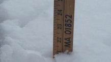
The snowiest March in the city was in 1896, when 30.5 inches fell in Central Park. The fifth snowiest March was in 1960, when 18.5 inches fell. Central Park would need to see another 14 inches this month to get March 2015 into the record books for the top five snowiest months of March, and with more snow on the way, the possibility is not out of the question, according to Storm Team 4.
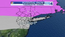
A complex storm system across the central and southwestern United States will send a few waves of precipitation the tri-state's way over the next few days. The first round will arrive Tuesday afternoon in the form of snow and sleet, Storm Team 4 says. The best chance for accumulating flakes will be after 3 p.m. Tuesday, and the highest accumulations will be north and west of the city.
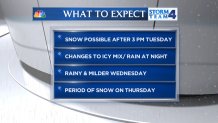
As warmer air works into the storm from the south, Storm Team 4 says snow and sleet will change to rain Tuesday night into Wednesday. Uncertainty swirls around the back side of the storm Thursday. Some of the latest computer models suggest several inches of snow may fall in the city Thursday into Thursday evening.
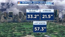
The city is already substantially ahead of its average snow totals for the winter season. On average, Storm Team 4 says 21.5 inches of snow fall in Central Park over the course of the winter. This winter, 33.2 inches have fallen.
Wet, icy weather is becoming old hat for the area's residents, who have been grappling with record-breaking lows and slushy storms this winter. After February came to a close Saturday night with an average monthly temperature of 23.9 degrees, it was declared the third-coldest February in New York City since 1869.
The coldest February ever recorded in the city was in 1934, when the average temperature in Central Park was 19.9 degrees. February of 1885 comes in second.

