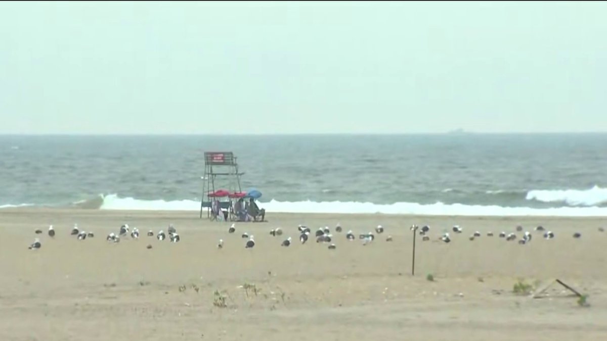
High rip-current risk is prompting safety concerns along tri-state coastline beaches ahead of Tropical Storm Ernesto passing offshore later this weekend.
Beaches will be closed for a third day in Brooklyn in Queens over safety concerns brought on by Tropical Storm Ernesto passing offshore from New York City.
Swimming was initially prohibited at city beaches in those boroughs through Sunday, but city officials extended the closure into Monday due an extended rip current threat.
Lifeguards remained on duty at the beaches over the weekend and additional Parks staff were on hand to help monitor. Jacob Riis Beach, although managed by the National Park Service, was also closed to swimming.
On top of potentially life-threatening rip currents, forecasters were predicting ocean swells of up to 6 feet and wind gusts at 12 mph.
Get Tri-state area news delivered to your inbox. Sign up for NBC New York's News Headlines newsletter.
"Our primary focus is keeping New Yorkers safe, so as the impacts of Tropical Storm Ernesto approach New York City, we are closing our ocean-facing beaches in Queens and Brooklyn this weekend to protect New Yorkers from dangerous rip currents,” Mayor Eric Adams said in a statement late Friday.

The entire tri-state coastline has been at risk of dangerous conditions as Ernesto blows through our region.
Local
Expect dangerous rip currents and large waves -- up to 9 feet on parts of Long Island -- through the weekend. (Here's why rip currents are so threatening, and what to do if you find yourself in one.) High wind gusts close to 30 mph are possible in some areas along the Jersey Shore.
Ernesto’s swells, an onshore wind and a nearly full moon will combine to produce higher-than-normal tides, beach erosion and increased coastal flooding in all the usual low-lying areas.
The system made landfall in Bermuda on Saturday morning as a category 1 hurricane. It battered the island before continuing northward toward Canada.
In New Jersey, state officials warned beachgoers to watch for rip currents and keep their feet in the sand until a lifeguard is on duty.
10-day NYC forecast outlook
Outside of Ernesto’s impacts, the beach weather in general will decline as the weekend goes on. Saturday ushers in more clouds and higher humidity, with a few showers favoring areas west of NYC for the most part.
Showers and storms become more likely overnight into Sunday, then again for Sunday evening. These storms may be on the heavier side, capable of strong to damaging wind and localized flooding.
Our area should dry by Wednesday, leading to a beautiful stretch of weather for the back half of next week.
The humidity ebbs by the middle of next week, too.
Track any approaching rain using our interactive radar below.

